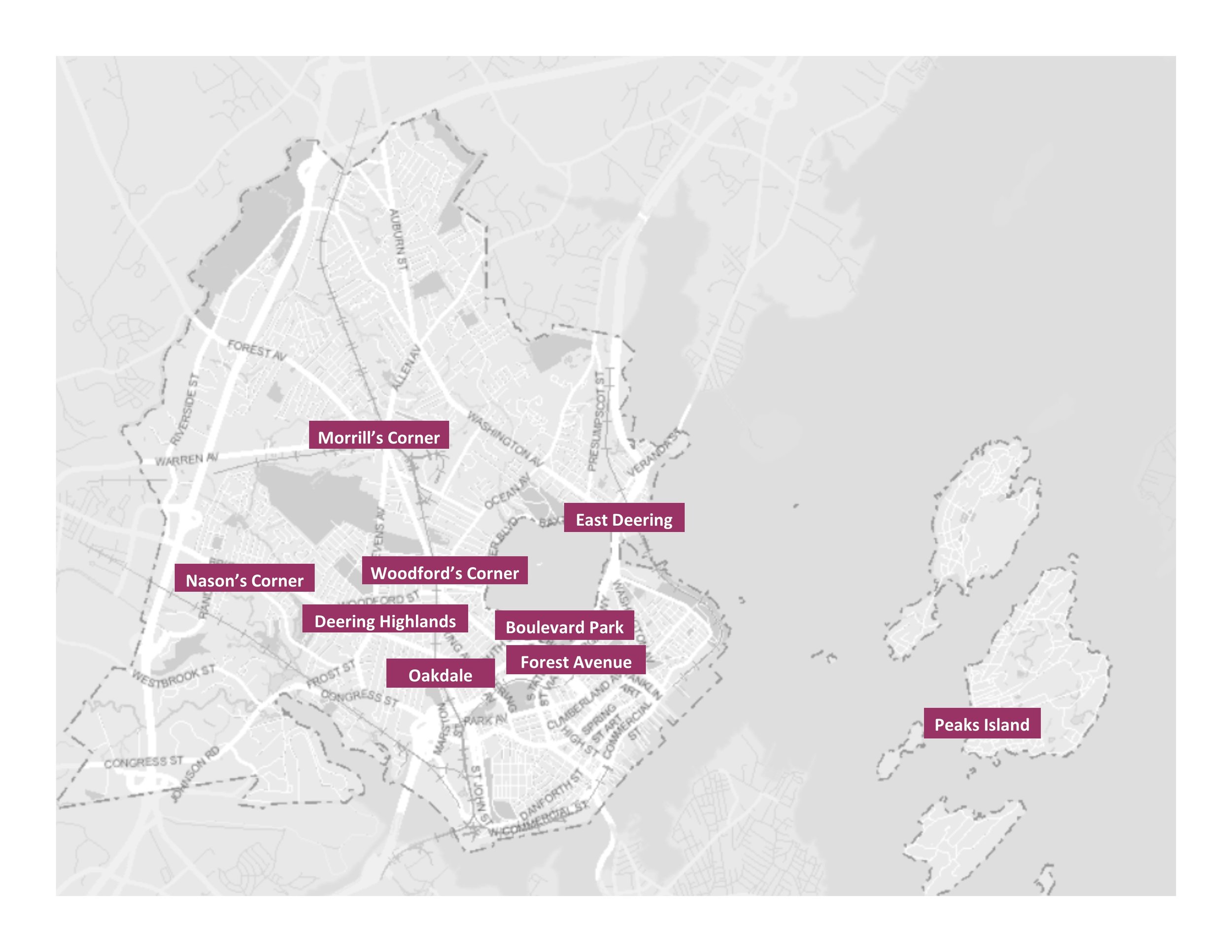
At the heart of our mission is understanding this place. Greater Portland. The first step any preservation organization needs to undertake is to document what buildings and places exist, recognize why they were built, and to document for whom they were created. Landmarks has been doing this work since it was formed in 1964. In our research library are files on many properties in Portland, Westbrook, Falmouth, Scarborough, and Cape Elizabeth. Over the years, we’ve worked to document properties in these communities through historic resource surveys, field visits, and community histories. That work continued in the 1990s with surveys in West Bayside, India Street, and on Munjoy Hill in Portland. More recently we’ve been documenting neighborhoods off peninsula, on Peaks Island, and in South Portland. In 2019 our survey work will document properties in Portland’s East Bayside and South Portland’s Ferry Village. If you’d like to learn more about some of the neighborhoods we’ve been documenting check out a new page with links to videos and slideshows about the history, architecture, and people that make up some of these neighborhoods we’ve been documenting!

Preservation Portland